
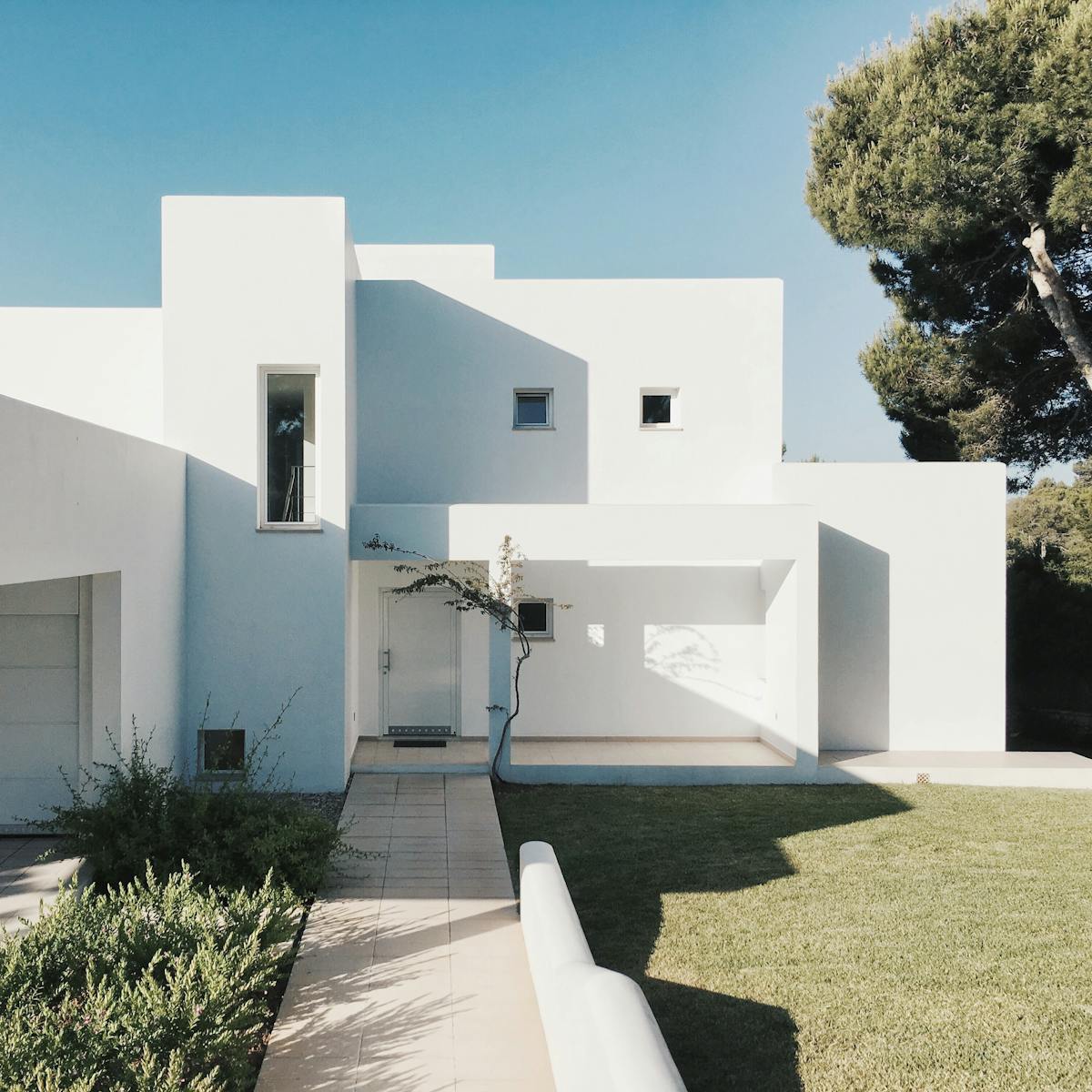
Welcome to the most complex residential market in Canada. Vancouver is not one city — it is downtown high-rise, Westside heritage, Cambie/Broadway densification corridors, and an Eastside in the middle of a multiplex transformation, all under three layered vacancy taxes (municipal Empty Homes, Provincial SVT, federal UHT). You don't just need any agent here. You need one who knows when to pivot from a Yaletown sub-penthouse to a Mount Pleasant duplex assembly.
Why Buy in Vancouver, BC?
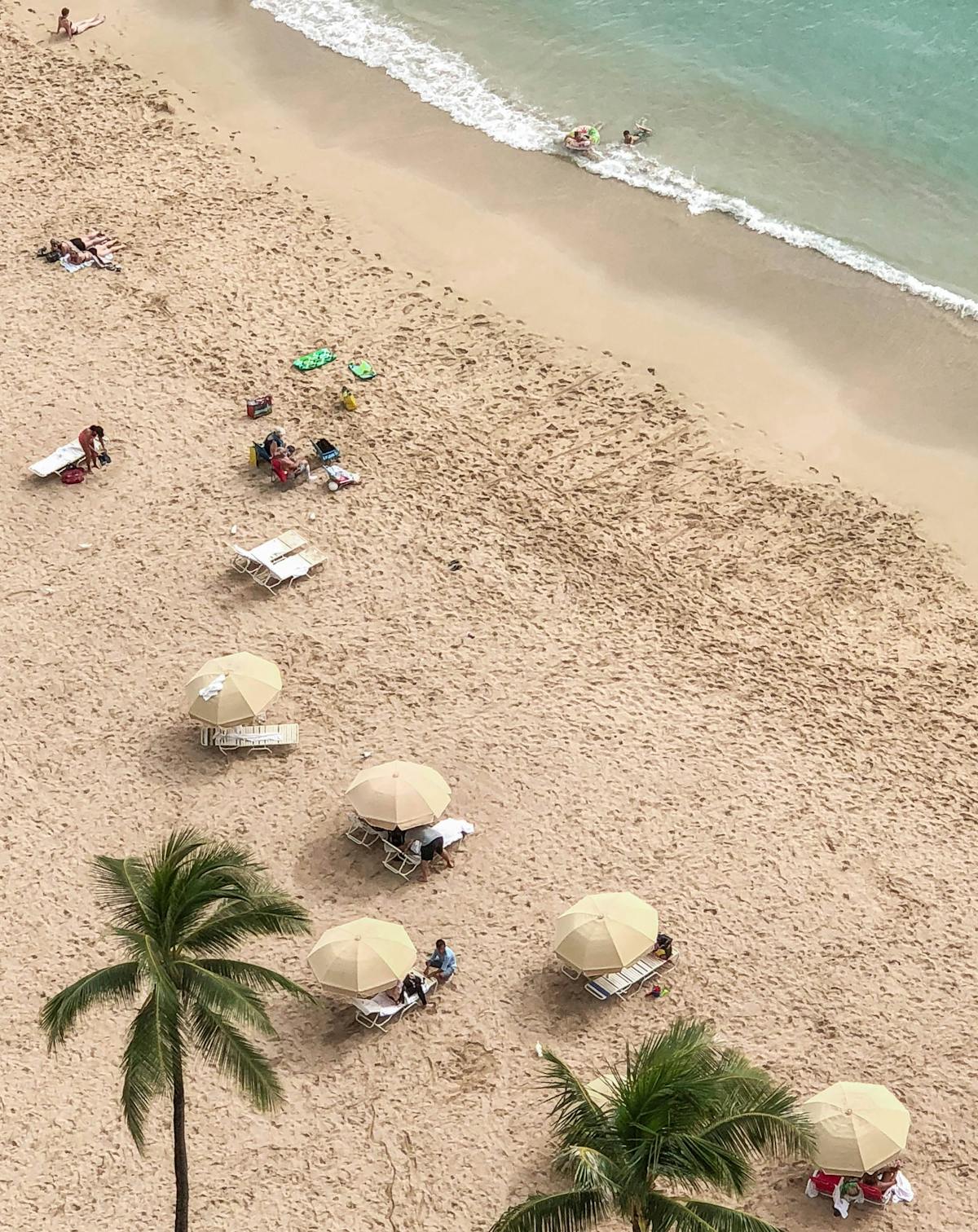
The City of Vancouver covers roughly 115 square kilometres and houses about 700,000 people, making it the densest major city in Canada. Geography did the first sorting — bounded by Burrard Inlet, English Bay, the Fraser North Arm, and Boundary Road, the city has zero greenfield expansion potential. Every new household either takes a unit out of the existing stock or appears on a redeveloped lot. That dynamic, more than any cycle, explains why Vancouver real estate has historically traded at a premium to the rest of the country.
What buyers come for varies as much as the neighborhoods. A Coal Harbour penthouse buyer is buying a global-currency view; a Point Grey buyer is buying SD39's Lord Byng catchment and proximity to UBC; a Mount Pleasant buyer is buying walkable village character and a Broadway Subway station; a Killarney buyer is buying the largest detached lot they can afford east of Boundary. Each of those motivations has its own pricing physics.
The legal/regulatory layer is the densest in BC. The City of Vancouver Empty Homes Tax (3%) stacks on top of the Provincial Speculation and Vacancy Tax (0.5% Canadian / 2% foreign) and the Federal Underused Housing Tax (1%). Bill 44's Multiplex framework, the Broadway Plan, the Cambie Corridor Plan, the Oakridge Plan, the Jericho Lands plan, and the False Creek South lease-back framework all reshape what is buildable on what lot. Heritage Conservation Areas — most notably First Shaughnessy — add a further constraint. Get a single one of these wrong and a $4M Westside teardown becomes a $4M legal-fee headache.
Visual 1: Vancouver Benchmark Prices (2026)
*Estimates for illustrative purposes based on REBGV composite benchmarks. Westside/Eastside spread is enormous — contact me for exact submarket metrics.
The Massive Vancouver Neighborhood Directory
Vancouver is officially divided into 22+ planning neighborhoods, but practically there are dozens of named submarkets that move price. Here is a comprehensive guide, grouped by Downtown, Westside, and Eastside:
Downtown / Inner-City (Concrete Towers)
1 Coal Harbour

The flagship downtown waterfront. Coal Harbour stretches from Cardero to Bute, anchored by the Westin Bayshore and the Coal Harbour Seawall. Trump Tower (now Living Shangri-La extension), Fairmont Pacific Rim residences, and the Bayshore Gardens collection define the high end. Two-bedroom waterfront concrete with unobstructed mountain-and-water views routinely clears $2,500-3,500 per sq ft. The constraint is the View Cone Bylaw — protected sightlines from Queen Elizabeth Park and Cambie Bridge cap upward density on most legacy parcels.
2 Yaletown
The Expo-86 redevelopment that defined Vancouver's modern condo product. From Pacific Boulevard up to Davie, Yaletown is dense concrete towers with podium retail, the False Creek seawall, and the Yaletown-Roundhouse Canada Line station. Heritage warehouse loft conversions on Hamilton and Mainland Streets remain among the most distinctive product in Canada. Buyers love the walkability; investors note the strong rental absorption from the downtown employment base.
3 West End
Vancouver's oldest residential neighborhood, between Burrard, Stanley Park, and English Bay. A mix of 1960s-70s concrete rentals, mid-century walk-ups, and a growing pipeline of West End Plan rezonings (Davie/Denman/Robson corridors) replacing low-rise stock with new towers. Davie Village is the historic LGBTQ+ village. Beach Avenue waterfront and Sunset Beach Park give it a distinct seawall character. Historic buildings often have land-lease land or ground-lease leasehold complications — verify tenure carefully.
4 Olympic Village & False Creek South
The 2010 Athletes Village redeveloped into Vancouver's flagship LEED-certified community. Mostly 4-12 storey concrete and high-density wood-frame around Hinge Park, anchored by Craft Beer Market and Tap & Barrel. Olympic Village Canada Line station puts buyers downtown in 4 minutes. The adjacent False Creek South — Spruce Harbour, Heather Harbour, and the cooperative housing along the seawall — sits on a city land lease that has been actively renegotiated; lease-tenure homes here trade at large discounts to fee-simple equivalents but require careful diligence.
Westside (Premium Detached & Heritage)
5 Kitsilano
The beach-village identity of Vancouver. Kits runs from Burrard west to Alma, English Bay south to West 16th. The "Kits Point" pocket west of Cypress is the highest-value sub-area, with character homes on quiet streets backing onto Kits Beach. South of West 4th, you get craftsman bungalows and box-form post-war stock; north of West 4th you get higher-density condos. Broadway Plan changes are most visible along West Broadway from Burrard east — significant rental tower upzonings are now in play.
6 Point Grey & West Point Grey
The flagship academic Westside. Point Grey houses, on the bluff above Spanish Banks and Locarno Beach, are the most consistent generational-wealth product in the city — Lord Byng Secondary catchment, walking-distance UBC commute, and 50-foot-frontage lots that resist multiplex breakup. The Jericho Lands assembly (Musqueam-Squamish-Tsleil-Waututh & Canada Lands) is the largest pipeline change here in 50 years, with significant new density planned over the next two decades.
7 Kerrisdale
Old-money Westside on the West Boulevard / 41st Avenue spine. Walkable village core, Kerrisdale Village shops, and tree-lined streets of 33-50 ft lots with mid-century and tudor-revival character. Magee Secondary catchment. Kerrisdale apartments along Yew, Vine, and 41st are an active downsizing market for empty-nesters from larger Westside detached. The new mid-rise rentals near 41st and West Boulevard are reshaping the rental stock.
8 Dunbar-Southlands

The quiet family Westside. Dunbar is the corridor between West 16th and West 41st, MacDonald to Crown. Lord Byng Secondary catchment, Dunbar Community Centre, and the Pacific Spirit Park trail network drive premium pricing. Southlands — south of Marine Drive, with horse paddocks, equestrian zoning, and Fraser River dyke views — is one of the most unusual zoning corners in the city: large lots, agricultural overlays, and active flood-protection regulation.
9 Shaughnessy
Vancouver's original old-money district, planned by the CPR in 1907. First Shaughnessy is a Heritage Conservation Area — the most restrictive HCA in Vancouver, with mandatory pre-1940 character retention on most lots and tight controls on demolition, addition, and infill. Lots are 75-150 ft frontage with 10,000+ sq ft typical. Second and Third Shaughnessy (south to King Edward and beyond) have looser heritage rules but still trade on character and lot size. Eric Hamber Secondary serves much of the area.
10 Cambie Corridor & South Cambie

The most aggressive transit-oriented rezoning in the city. The Cambie Corridor Plan covers a 7-km strip from West 16th south to Marine Drive along the Canada Line, allowing 4-6 storey mid-rise rental and condo plus higher-density at station nodes (King Edward, Oakridge-41st, Langara-49th, Marine Drive). Townhouse and 6-plex assemblies are still actively absorbing the legacy single-family stock. South Cambie around Heather Park retains heritage and character on the side streets.
11 Oakridge & Langara
The Oakridge Park redevelopment (Westbank/QuadReal, ~$5B, 13 towers, 2,600+ homes, retail, civic center) is the largest mixed-use development in Western Canada, anchoring the Oakridge-41st Canada Line station. Surrounding character homes between Oak and Cambie still trade on Eric Hamber catchment and proximity to Queen Elizabeth Park / Hillcrest Centre. Langara Gardens, the College, and surrounding rentals form a distinct sub-pocket.
Eastside (Diverse, Walkable, Multiplex Frontier)
12 Mount Pleasant
The "Brooklyn of Vancouver." Mount Pleasant runs from Cambie to Clark, 2nd Avenue south to 16th. Walking-distance Main Street, Olympic Village SkyTrain, and the new Broadway-City Hall and Mount Pleasant Broadway Subway stations make it a current-decade winner. Mount Pleasant West (west of Main) is denser concrete; Mount Pleasant East is character-home and townhouse heavy. Broadway Plan unlocks significant tower density on the corridor itself.
13 Riley Park & Main Street

South of Mount Pleasant, the Main Street corridor through Riley Park (16th to 41st) is the spine. Walking-distance Main Street independents from 16th to 33rd, the Hillcrest Centre, Nat Bailey Stadium, and Queen Elizabeth Park. Mostly character bungalows on 33-foot lots, with active multiplex and laneway-house infill underway. Sir Charles Tupper Secondary catchment.
14 Grandview-Woodland (Commercial Drive)
Commercial Drive is the spine — Italian-origin retail mixed with newer independent cafes, restaurants, and live music venues. The Grandview-Woodland Plan has been controversial but is now fully in effect, allowing 4-6 storey rental on most arterials and townhouse/multiplex on side streets. Britannia Secondary, Trout Lake (John Hendry Park), and the Commercial-Broadway SkyTrain interchange anchor the area.
15 Hastings-Sunrise & Renfrew

Northeast Vancouver between Nanaimo and Boundary, north of Broadway. The "Hastings Sunrise" stretch along East Hastings from Nanaimo east is walkable retail with views of Burrard Inlet on the high blocks. Templeton Secondary catchment. Lots are typically 33-foot frontage. The Pacific National Exhibition (PNE) and Empire Field anchor the east end. Active multiplex and SSMUH redevelopment activity here under Bill 44.
Other Vancouver Neighborhoods Worth Knowing
Downtown South / Davie Village — High-density rental and condo south of Robson, west of Granville. Newer towers along Howe and Seymour. Walkable downtown core.
Gastown — Historic 1880s warehouse district turned heritage loft and boutique-hotel zone. Cobblestone streets, character buildings on Water and Cordova. Mostly 1-bed loft inventory; HCA constraints on additions and demolitions.
Crosstown / Chinatown / Strathcona — Just east of Gastown, the Crosstown blocks (between Cambie and Gore) are mixed concrete towers and heritage. Strathcona is Vancouver's oldest residential neighborhood with 1890s-1920s heritage character; some of the most architecturally significant homes in the city sit on small original lots here.
South Granville & Fairview — The South Granville Rise is the high-end retail spine from Broadway to West 16th along Granville. Fairview holds the Vancouver General Hospital district and dense apartment/condo stock between Burrard and Cambie south of False Creek. Broadway Plan reshaping the corridor.
Arbutus Ridge & Quilchena — Mid-Westside between Granville and Macdonald, south of West 16th to West 41st. Tudor and craftsman character homes, Prince of Wales Secondary catchment, Arbutus Greenway corridor. The Arbutus Greenway (former CPR rail line) is being progressively converted into a linear park, raising adjacent property values.
Marpole — Southwest Vancouver between Granville and Main, south of West 57th to the Fraser River. Active rezoning under the Marpole Community Plan permits 4-6 storey mid-rise on Granville, Cambie, and Marine Drive. Family detached on 33-foot lots make up most side-street stock.
Kensington-Cedar Cottage — Eastside, between Knight and Nanaimo, Broadway south to King Edward. Mid-density walk-ups and active SSMUH redevelopment. Walking-distance to Trout Lake. Strong rental absorption.
Sunset & Victoria-Fraserview — South Vancouver between Knight and Boundary, south of 41st to the Fraser. Sunset is the Sikh-Punjabi community center along Main and 49th; Victoria-Fraserview includes Killarney Park and is heavy on 1960s-70s detached. Larger lots than most of the Eastside.
Killarney — Southeast Vancouver between Boundary and Killarney/Champlain. Larger lots, often 40-50 foot frontage, with rancher and split-level mid-century stock. Killarney Community Centre and Champlain Heights mall anchor services.
Renfrew-Collingwood — Between Nanaimo and Boundary, Broadway south to 41st. The 29th Avenue and Joyce-Collingwood SkyTrain stations drive the highest-density redevelopment on Vancouver's Eastside. Significant Asian-Canadian community. Templeton, John Oliver, and Windermere Secondary serve different catchments.
Champlain Heights — A 1970s-era master-planned community in the southeast corner. Mostly townhouses and low-rise apartments around Champlain Heights Park. Townhouse benchmark sits below Westside levels and is a frequent first-time buyer entry.
Mount Pleasant East / Riley Park East — Less polished than Main Street west, but trading at a discount with the same Broadway Plan upside. Watch for SSMUH multiplex assemblies on 33-foot lots.
Norquay Village — A planned village area along Kingsway near Slocan and Earles. Townhouse and 4-storey mid-rise underway, with a Norquay Plan unlocking density beyond what Bill 44 alone provides.
Downtown Eastside (DTES) / Strathcona-East — A complex social and residential district. Most product here is older SROs, social housing, or character homes in the eastern Strathcona blocks. Buyers should engage extensively with neighborhood context and city policy frameworks before considering any purchase.
Vancouver Triple-Vacancy-Tax Stack
Vancouver is the only city in BC where three vacancy-related taxes can stack on the same property. Buyers and sellers — especially out-of-province and foreign — must model all three:
Always confirm with a tax accountant and your real estate lawyer. The Empty Homes Tax declaration is required even if you live in the home — failure to file is treated as vacant.
Westside vs Eastside: The Vancouver Divide
The Vancouver Density Plans You Must Know
Five active city policies are reshaping where new housing will be built — and therefore where land values are moving fastest:
Bill 44 / Multiplex (city-wide) — Up to 4-6 dwelling units permitted on most low-density (formerly RS / R1-1) lots, with up to 8 near transit. The default new ground-oriented product in much of East and parts of West Vancouver-City.
Cambie Corridor Plan — Townhouse and 4-6 storey mid-rise along Cambie Street from West 16th to Marine Drive, with high-density nodes at King Edward, Oakridge-41st, Langara-49th, and Marine Drive Canada Line stations.
Broadway Plan — Significant high-rise rental and condo unlocking along the Broadway Subway corridor (Vine to Clark). Tenant protections, secured rental requirements, and view-cone overlays shape what gets built.
Oakridge Park / Oakridge Plan — Largest mixed-use project in Western Canada under construction; surrounding character lots have re-rated upward on assembly potential.
Jericho Lands & Heather Lands — Multi-decade Indigenous-led redevelopment of former federal lands in West Point Grey and Cambie/29th respectively. Significant new density planned with culturally significant placemaking.